


Boucle Pol Nord - Papin via Hbt Lagrange

Lamartiniere
User GUIDE
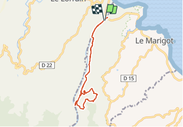

Length
10.2 km

Max alt
190 m

Uphill gradient
198 m
Km-Effort
12.9 km

Min alt
9 m

Downhill gradient
201 m
Boucle
Yes
Creation date :
2021-09-20 10:11:47.97
Updated on :
2021-09-20 14:00:53.814
2h30
Difficulty : Difficult

FREE GPS app for hiking
 SityTrail
IGN / Geographical institutes
SityTrail Plus
The world is yours!
About
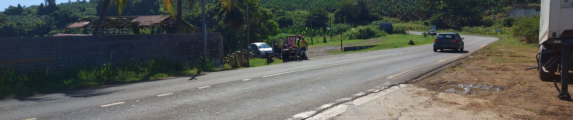
Trail Walking of 10.2 km to be discovered at Martinique, Unknown, Le Marigot. This trail is proposed by Lamartiniere.
Photos


32 photos in total. Please click on a photo to see them all in the gallery.
Positioning
Country:
France
Region :
Martinique
Department/Province :
Unknown
Municipality :
Le Marigot
Location:
Unknown
Start:(Dec)
Start:(UTM)
710599 ; 1639949 (20P) N.
Comments